 |
||
|
| People | | Photos | | Documents | | Videos |
| ALS/ACRES | | Aircraft Support in Papua New Guinea |
|
About
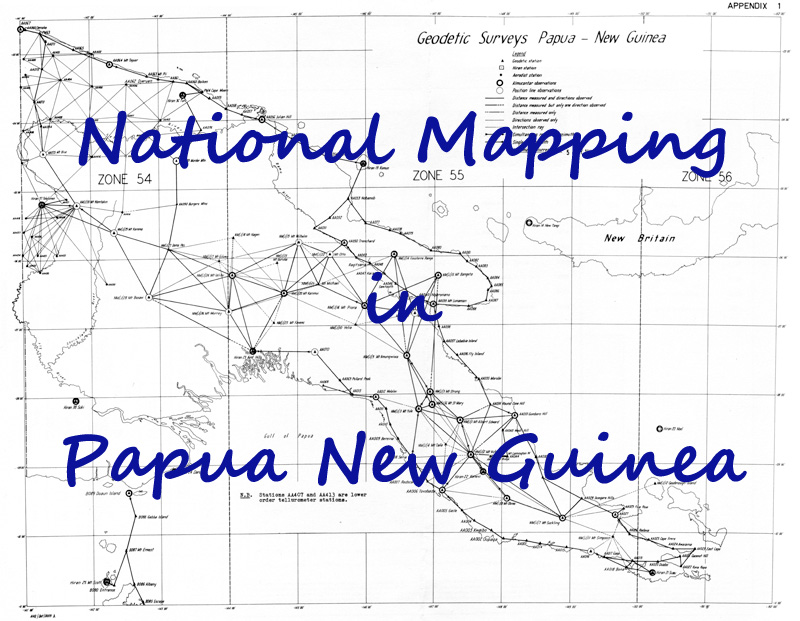
In the early 1960s, National Mapping carried out a Geodetic Survey in Papua New
Guinea (PNG) and followed up with topographic mapping in the Gulf of Papua area.
This contribution by National Mapping is largely forgotten or overlooked so it is
important that it be documented here.
|
|
|
|
|