|
| Home |
| Aircraft Support |
| Documents |
| People |
| Photos |
| Videos |
| NatMap |
| ALS/ACRES |
| NatMap in PNG |
| NatMap in Antarctica |
|
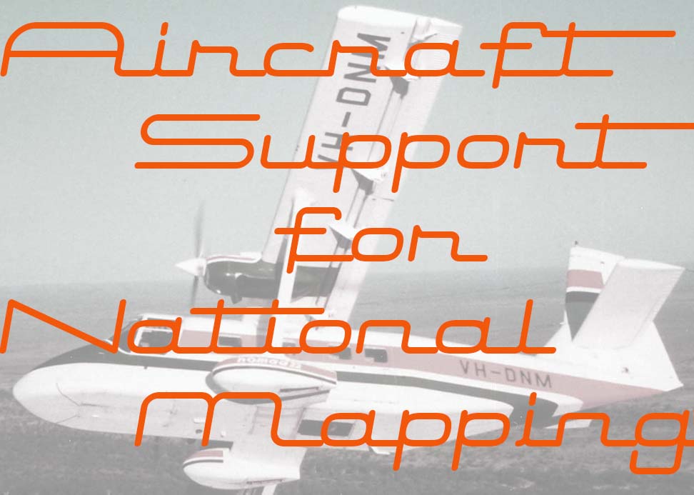
Aircraft Support for National Mapping Field Operations 1950s-1990s
Compiled by Laurie McLean
This section of the website is a start to documenting National Mapping's use of aircraft to support its operations between the 1950s and the 1990s and is not yet definitive. The compilation of such a record will hopefully enable readers to gain some appreciation of the contributions these aircrew made to the success of National Mapping's endeavours in mapping Australia, Papua New Guinea and Antarctica during the latter part of the 20th Century. From the accompanying profiles, it was also hoped that readers would also recognise just how outstanding were the aircrews that Nat Mappers of those times were fortunate to work with.
A major difficulty in preparing a section of this nature however, is accessing readily available resource material. While known documented records have been researched, most (but not all) of these made scant if any reference to the aircraft, pilot and engineers National Mapping used. Of necessity therefore the personal recollections of some former Nat Mappers and a few of the many pilots who flew for Nat Map over the years became a major source of information. While these contributions were invaluable and greatly appreciated by their very nature they are not infallible nor are they comprehensive. This is especially so when seeking to recall what were just every day events in the working lives of Nat Mappers and supporting aircrews some forty or fifty years ago.
If any reader is aware of any errors of fact or any significant omissions in this section or can provide additional information they are most welcome to let us know. Any additional information would be greatly appreciated especially from former Nat Mappers or from the pilots and engineers who provided aviation support to Nat Map.
Continue to the record of Aircraft Support for National Mapping Field Operations 1950s-1990s .
Acknowledgements
This section of our website was compiled through the dedicated persistence of Laurie Mclean with the guiding forethought of Paul Wise and Carl McMaster. Invaluable information was contributed by numerous other former Nat Mappers who kindly provided their aviation recollections either directly or through Paul Wise, namely: Harry Baker, Oystein Berg, Ed Burke, Kevin Burke, Terry Douglas, John Ely, Oz Ertok, Syd Kirkby, Peter Langhorne, Michael Lloyd, John Manning, Carl McMaster, Brian Murphy, Bruce O'Connor, Lawrie O'Connor, Peter O'Donnell, Ian Ogilvie, Murray Porteous, Rom Vassil, Con Veenstra.
Invaluable contributions were also generously given by pilots who flew with Nat Map, namely: Harry Baker, Errol Driver, Harvey Else, Lloyd Knight, Phil Latz, Ron Newman, John Stanwix and George Treatt.
The generous assistance provided by all of these people is gratefully acknowledged.
References
The reference list can be found here .
About the Author
Laurie McLean worked with the Division of National Mapping (and its successor organisation) from 1969 to 1988; including some nine years in Melbourne-based field positions. He joined Nat Map in February 1969 after serving as a national serviceman in Vietnam with the Royal Australian Army Service Corps in 1967-68. He worked in the field with the Aerodist ground marking party in 1969 and with the Aerodist measuring party from 1970 to 1974. He held the position of secretary of the National Mapping Council, Canberra from 1984 to 1988. He gained a Bachelor of Economics degree from Monash University in 1985.
The initial version of this article was completed on 30 September 2013.
|
|